Thermal Inspection
Advanced Heat Mapping
We utilise infrared technology to detect hidden defects that standard RGB visuals cannot identify. Our aerial thermal inspections equip asset managers with sub-surface issues before they lead to costly failures or safety hazards.
What is Thermal Inspection?
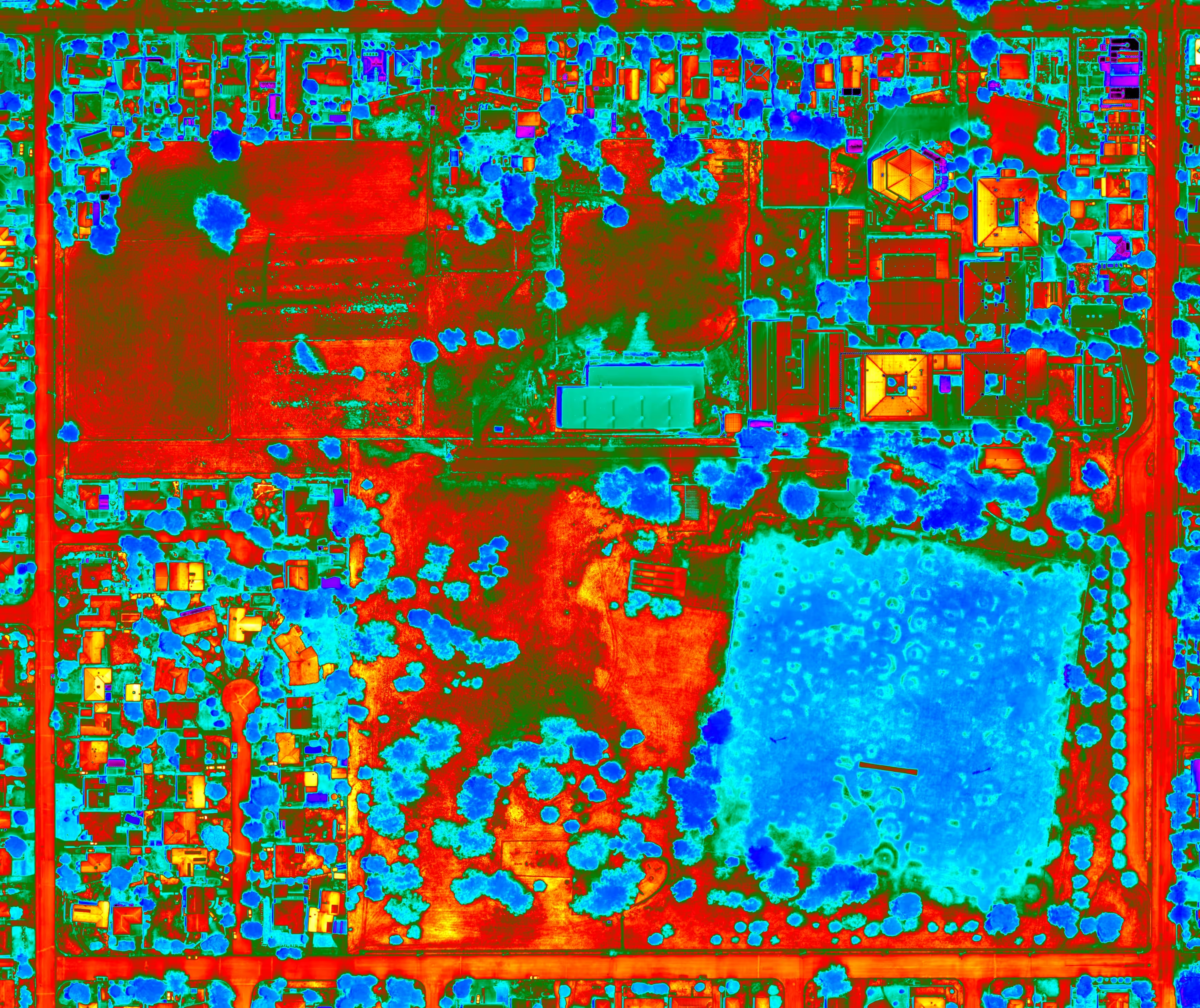
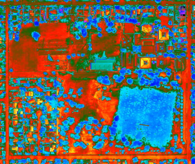
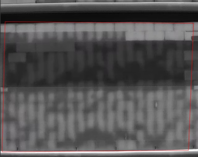
Every surface emits heat. Thermal cameras detect those heat signatures and translate them into imagery that reveals what’s happening beneath the surface, things that a standard RGB camera simply cannot see.
A water leak behind a wall shows up as a cool patch. An electrical fault registers as a hotspot. Insulation that’s failed or missing creates a visible heat signature against the surrounding material. Delaminating facade panels trap moisture that glows on a thermal scan long before any visible cracking appears.
Thermal inspection finds those problems at the earliest possible stage. That’s when they’re cheapest to fix.
Use Cases
Solar Farm Inspection
Faulty cells, failed diodes, and underperforming strings all generate abnormal heat signatures that show up clearly on a thermal scan. A single drone flight across a solar array identifies exactly which panels need attention, without taking the system offline or sending technicians across hundreds of panels on foot.
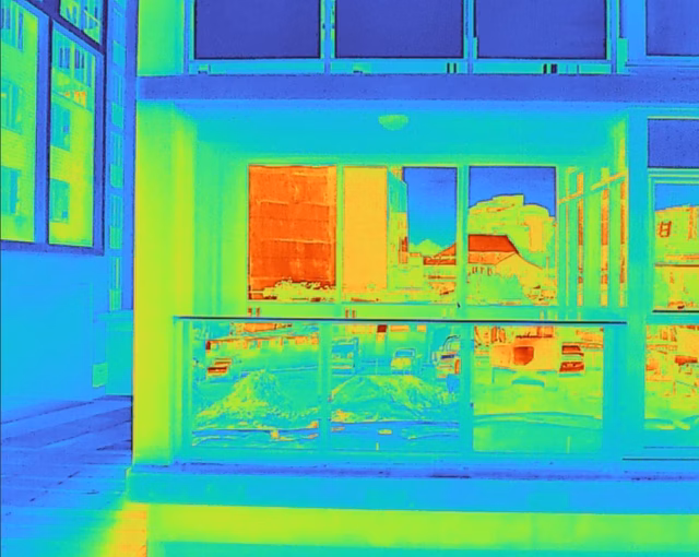
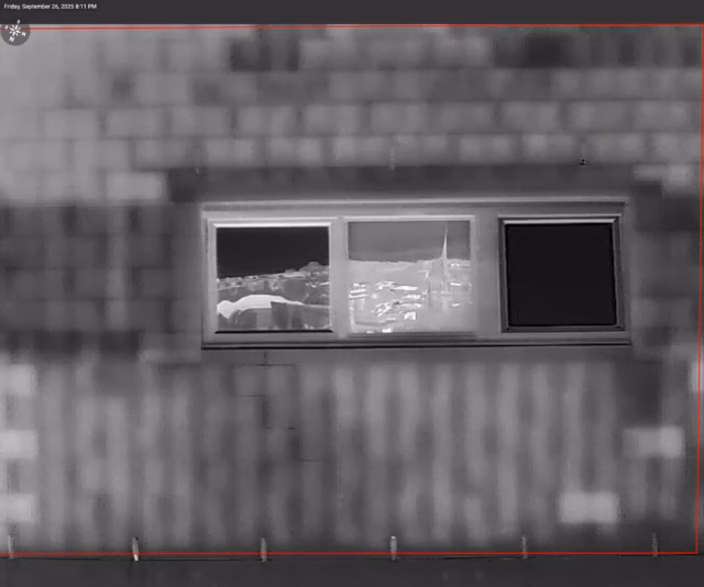
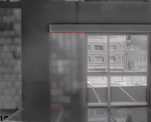
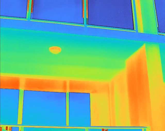
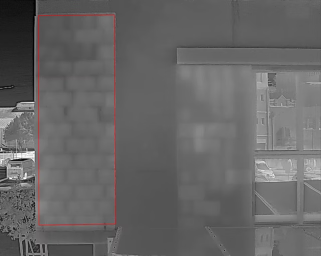
Building Envelope and Facade
Moisture ingress, insulation failure, and delamination behind facade cladding are invisible to the naked eye until the damage is done. Thermal scanning maps heat loss and moisture patterns across the full building envelope, giving engineers and building managers a clear picture of where problems are developing.
Electrical Infrastructure
Overloaded connections, failing components, and resistance faults all produce heat before they produce failures. Thermal inspection of switchboards, substations, and electrical infrastructure identifies hotspots early, before an unplanned outage or worse.
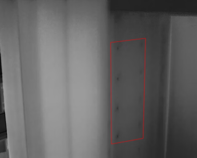
Roof and Membrane Condition
Water trapped beneath a roof membrane is one of the most common and costly building defects. Thermal cameras detect the temperature differential between wet and dry insulation, pinpointing exactly where water has penetrated without tearing up the roof to find it.
What sets us apart
Features
Key features that sets us apart from our competition. Here are reasons why you should engage Sky Monkey for your next project.


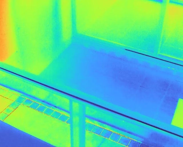
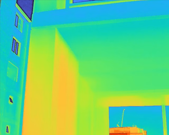
See What The Eye Can't
Thermal cameras detect heat signatures invisible to standard cameras. Moisture behind walls, electrical faults, insulation failure, and delamination all show up in the data before they’re visible on the surface.
Professional Post Processing
We are professional photographers by trade. All our photographs goes through a professional work-flow to ensure we deliver the best possible quality photographs, ready for commercial use.

In-house Production
We do not outsource production work, EVER. We perform ALL our production work in-house. That means, our quality and processes stay tight and in check, performed by our creative souls. We are fully Australian owned and operated. 🇦🇺

1000 words…
Examples of our work
Select any image below to see its full resolution in full screen.
Frequently Asked Questions
We get asked these regularly. Anything else beyond these, you can always ask us.
What is photogrammetry?
Photogrammetry turns hundreds of overlapping drone photographs into an accurate, measurable 3D model of a subject. Every point in the model has a real-world coordinate, so your engineers can take measurements, inspect specific areas in detail, and track changes over time without going back to site.
What is a digital twin?
A digital twin is a precise virtual replica of a physical asset. Built from photogrammetry data, it lets you navigate the asset in three dimensions from a browser, take accurate measurements, annotate conditions, and share access with engineers, consultants, or stakeholders anywhere in the world. Think of it as a permanent, interactive record of your asset exactly as it stood at the time of capture.
What is the difference between RGB and thermal inspection?
RGB inspection uses a standard camera to capture visible defects, cracking, corrosion, spalling, damage. Thermal inspection uses an infrared camera to detect heat signatures invisible to the naked eye, moisture ingress behind walls, insulation failure, electrical hotspots, and delamination under surfaces. The two are often used together on the same flight to give a complete picture of an asset’s condition.
How accurate is a drone survey?
With RTK positioning, drone surveys can achieve centimetre-level accuracy. The exact figure depends on the equipment used, flight parameters, and ground control point setup. We’ll advise on the appropriate accuracy specification for your project.
Can you work around live or operational sites?
Yes. Most of our inspection work happens on fully operational sites. We coordinate with your site team to manage any safety or airspace requirements, but shutting down operations is rarely necessary and never assumed.
Do you operate Australia wide?
Yes. We have a variety of talented and skilled operators Australia wide.
Can you operate on weekends, holidays or odd hours?
Yes. We offer flexible scheduling and can operate at any time, subject to availability. Simply reach out to discuss your timeline, and we will do our best to accommodate your project’s needs.